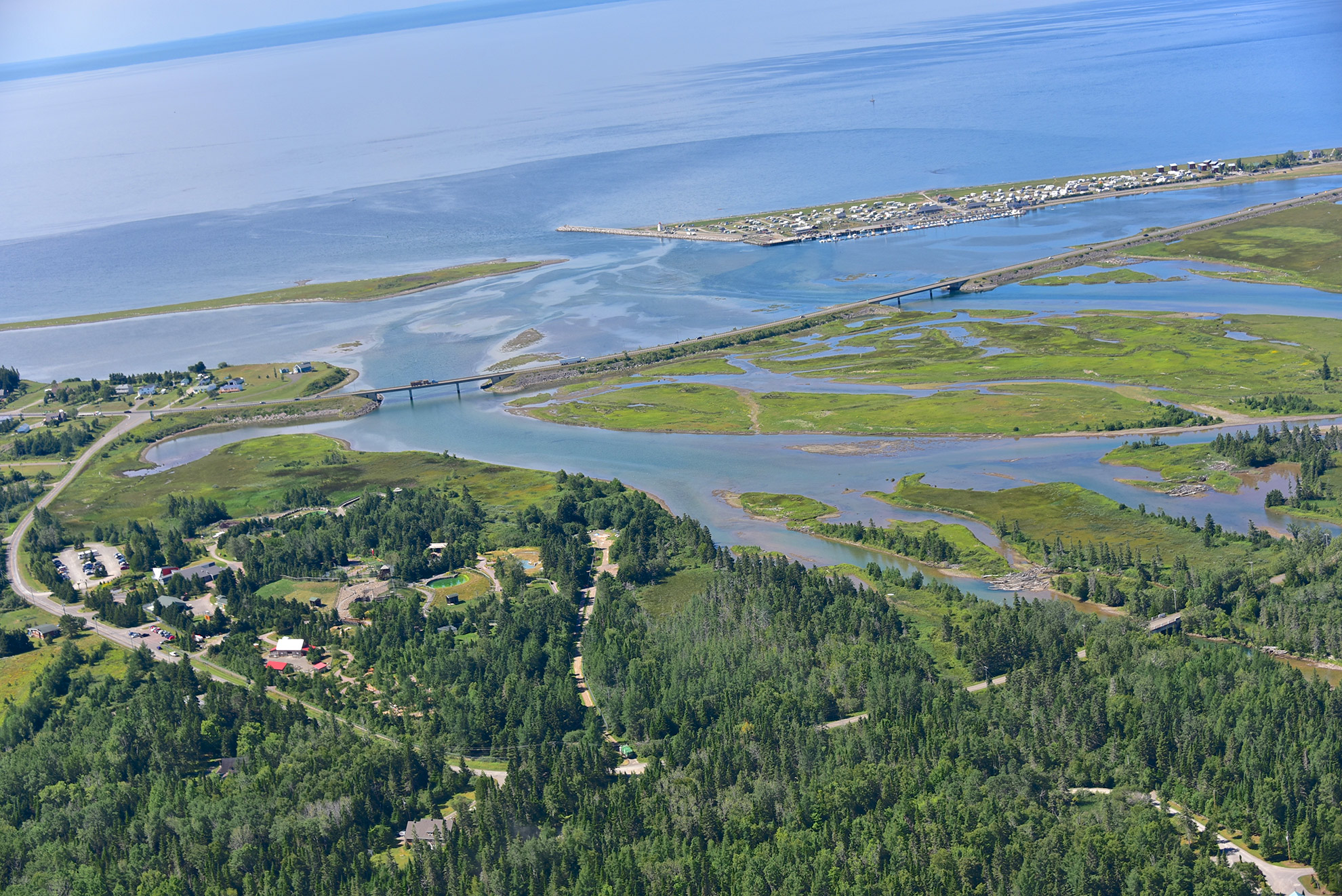
Cartography and Aerial Surveying
Geomatics deals with the management of spatial reference data. It includes, among other things, the acquisition, storage and processing of geographic information. In addition to collaborating on the projects of other departments of the MRC, the geomatics and cartography service is able to meet all the cartographic needs of the municipalities in its territory.
Here are various achievements of the geomatics service:
- Cartes interactives :
Contact person
Camille Cyr, geomatician
581 357-1130
